Commercial deep-sea shipping and maritime logistics face increasing pressures to improve operational safety, reduce fuel emissions, and streamline crew requirements. However, maneuvering large vessels through narrow passages or in bad weather requires operators to constantly assess the situation using multiple sensors. Traditional marine navigation relies on human oversight to interpret separate radar scopes, video feeds, and Automatic Identification System (AIS) tracks, creating cognitive fatigue and introducing reaction delays during low-visibility conditions.
To achieve reliable high-seas autonomy under adverse conditions, Kongsberg Maritime and NVIDIA are pioneering edge-accelerated sensor fusion platforms. By pairing high-definition marine radar, optical cameras, and LiDAR with onboard AI supercomputing, the joint system processes dense sensor streams in real time directly at the vessel edge.
1. Operational Challenges in Deep-Sea Autonomous Navigation
Navigating uncrewed or reduced-crew commercial vessels across open ocean and complex coastal waterways introduces severe sensing and compute bottlenecks:
Adverse Environmental Conditions: Dense fog, heavy rain, high sea states, and night operations obscure optical line-of-sight, rendering visual cameras insufficient for reliable collision avoidance.
Extreme Raw Data Bandwidth: Fusing multi-angle LiDAR, stereo vision, optical cameras, and multi-band radar generates massive data streams that far exceed satellite telemetry bandwidth limits for cloud processing.
Strict International Regulations: Autonomous navigation algorithms must strictly adhere to the International Regulations for Preventing Collisions at Sea (COLREGs), requiring deterministic, sub-second decision-making to execute compliant evasive maneuvers and avoid collisions.
2. Platform Architecture: Edge AI Hardware & Real-Time Sensor Fusion
To eliminate cloud processing latency and maintain full onboard autonomy during deep-sea transits, the platform utilizes high-throughput edge AI architectures embedded directly into ship command systems:
Onboard Edge AI Processing: Industrialized edge servers process multi-modal sensor arrays locally, eliminating the need to transmit raw sensor feeds to the cloud while enabling real-time navigational decision-making.
Asynchronous Sensor Fusion: Raw radar returns are combined with thermal, optical, and AIS data within a single, unified spatial picture. This multi-layered approach eliminates non-overlapping blind spots where critical obstacles might otherwise remain undetected.
Edge Radar Signal Processing: Deep neural networks analyze raw radar signals to filter out background noise, such as waves and sea clutter, reliably detecting small, non-reflective targets (e.g., drifting logs or small boats) that larger surface reflectors would typically hide.
3. Algorithmic Decision-Making & COLREGs Compliance
Translating real-time spatial environmental maps into safe vessel steering and propulsion commands requires robust path-planning frameworks:
Dynamic Trajectory Prediction: Neural networks construct real-time spatial awareness maps to track surrounding objects and predict their future trajectories, forming the foundation for proactive collision avoidance.
Deterministic COLREGs Planning: Motion-planning engines evaluate candidate courses and speeds against formal mathematical representations of COLREGs rules, ensuring compliant and safe vessel behavior in all traffic scenarios.
Fail-Operational Redundancy: The edge navigation pipeline incorporates fail-operational and fail-safe safety routines, ensuring the vessel maintains control or initiates emergency protocols during extreme sensor interference or system faults.
4. Maritime Deployment Roadmaps & Industrial Impact
Deploying autonomous edge perception across commercial fleets delivers substantial safety, operational, and environmental benefits:
Short-Sea Shipping Autonomy: Autonomous electric container feeders operating along coastal routes leverage full edge perception to navigate narrow fjords and dock automatically without requiring extensive shore infrastructure or service tugboats.
Enhanced Bridge Support for Crewed Fleets: Operating in advisory mode, the AI platform serves as an intelligent "co-pilot" for human watch officers, increasing situational awareness and significantly decreasing operator workload during complex transits.
Optimized Fuel Efficiency & Emissions: By continually calculating optimal micro-routes around dynamic weather systems and marine traffic, autonomous navigation systems avoid constant thrust changes, lowering fuel consumption and reducing harmful environmental emissions.
Sources
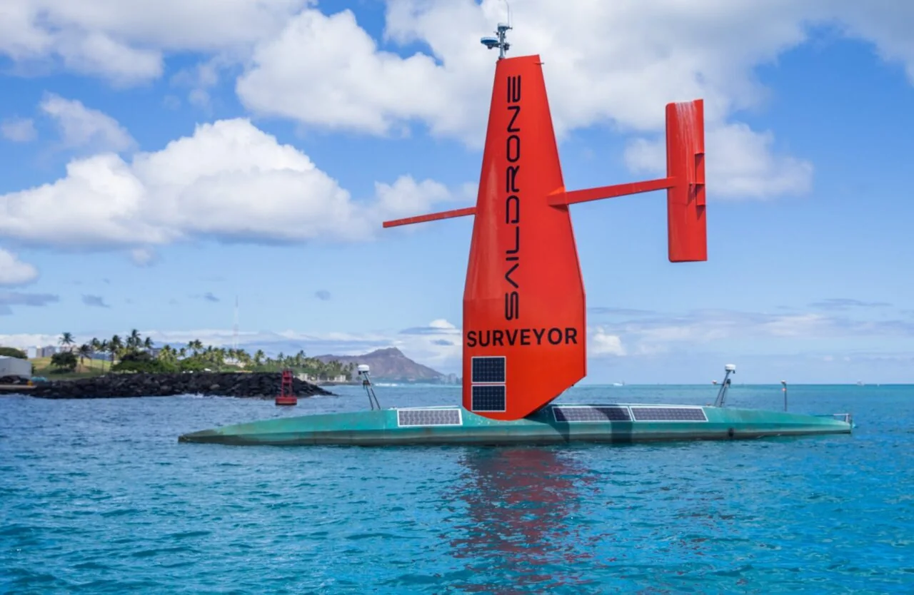
- Martin, S. (2023, July 19). A Saildrone Surveyor autonomous uncrewed surface vehicle equipped with solar panels and a distinctive red wing sail cruising in coastal waters [Photograph]. NVIDIA Blog. https://blogs.nvidia.com/blog/saildrone-autonomous-oceanic-monitoring-jetson-deepstream/