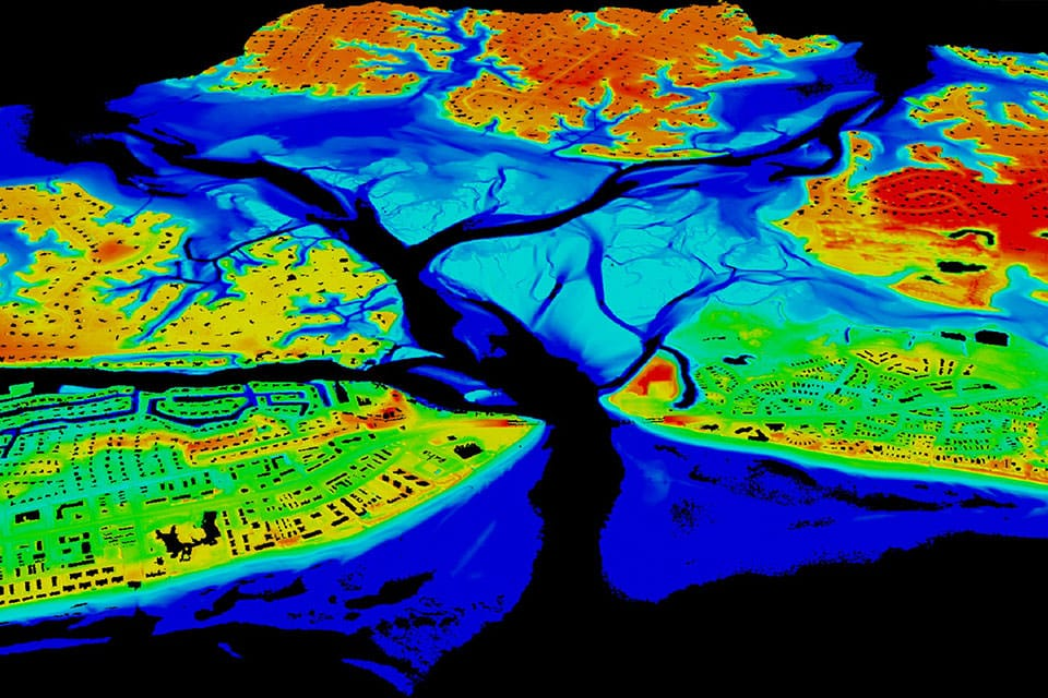
A picture may create an impression of a landscape, but measuring it requires additional steps. What is the height of the road? How does the surface slope? The LiDAR technology enables scientists to obtain such information by directing laser beams at objects and analyzing the reflected signals.
In the text provided, NOAA explains how LiDAR works in detail. According to the source, this technology utilizes “light emitted from LASER sources and reflected off a target … to calculate distances.”
When deployed on aircraft, the method accounts for location and attitude data, thus enabling the creation of 3-D plumes of points. This information can then be used to generate maps, computer models of structures, and similar items of interest.
A plume is a set of points that define the coordinates of a specific location, which differs from taking the image as it is.
Further in the text, the same source states that NOAA applies LiDAR data in shoreline mapping, storm surge modeling, response operations, and coastal impact assessments, among others.
For instance, when considering a community at risk of flooding, an engineer may use a map created with LiDAR technology to analyze the problem and determine where the water will flow first based on the land’s topography. In this hypothetical example, identifying the elevation changes becomes critical to developing a solution, but it may not be possible in a photograph, however, clear it may be.
As noted by NOAA, in order to select the LiDAR system that will aid in research, one should be aware of the available types.
Topographic and bathymetric LiDARs differ in wavelength, the former using near-infrared light to measure the distance to the terrain, and the latter applying green light for penetration into the water to collect data concerning underwater landscapes. This distinction highlights the importance of the environment when choosing the instrument. After that, it becomes essential to recognize how the input data affect the conclusions made by analysts.
All in all, the technology in question allows for transforming the information received concerning reflected light into measurements that support researchers in their activities. The main advantage of LiDAR is that it enables better decision-making in specific conditions by providing appropriate data, nevertheless, one should always consider information’s nature when working with it.