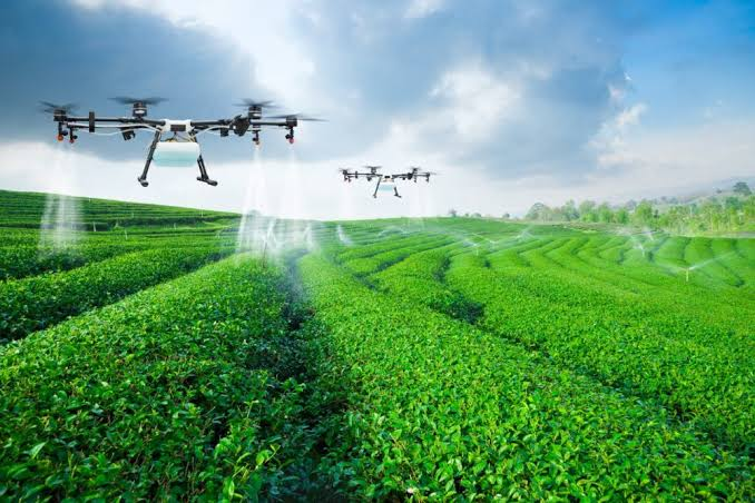
“A farmer might occasionally see her sprawling field of green and think about how best to meet the varying demands of the terrain. Maybe a section needs less water, or another area might need different care as the seasons change. Precision agriculture allows farmers to improve their operations by taking action specifically suited to individual locations and conditions within a field”, the article says .
What Can Information Offer ?
To quote the article “satellite imagery can be used to monitor soil moisture and groundwater levels, identify different crops, and track ground cover, such as agricultural vegetation”. NASA also “has contributed precision farming tools, such as GPS-based mapping”.
I believe the value of the tools mentioned resides in the fact that the information from position and observation satellites can be combined, for instance the former can show positions and the latter can observe and classify them.
So the benefit of creating such tools as the ones presented by NASA is that it enables a link between measurements and decisions grounded in field-specific variations.
From Calculations and Numbers to Experience and Specific Solutions
The article says “NASA works with agricultural producers to develop and test potential solutions for water management”. Let’s imagine a situation where a specific field area appears different on a colourful map created by a position satellite. This feature could alert the farmer about further examining the site before changing the way water is poured on it as this could mean there is an irregularity that requires attention.
The situation I described is hypothetical, nevertheless it makes a good illustration of the fact that numbers do not lie. However, on the flip side of the coin, there are farmers as different as the landscapes they cultivate, and so their requirements are to be considered as well.
Therefore, the question that is worth asking is ‘do the newly developed tools by NASA answer to the farmers’ needs ?’. Providing additional information is not that helpful if the one it is supposed to assist cannot correlate it to his experience.
Final Thoughts
Precision agriculture proves how observations from afar can enable and facilitate decisions for a specific situation on the ground. I see its main strength in combining measurements with decisions based on on-the-ground variations. The technology works best when it helps farmers
to understand heterogeneity in their fields and choose the best course of action, taking into account their experience and particular requirements.